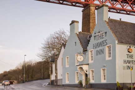
- Starting at South Queensferry, the walk begins at the Hawes Pier opposite the Hawes Inn. The inn dates back to at least the 17th century and is noted for its connections with Robert Louis Stevenson and his book "Kidnapped". During the summer there are boat trips to Inchcolm Island starting from the Pier.
- The walk keeps to the shore line and heads past a white roofed building on the left. This was once a World War I gun emplacement which then became a tearoom and is now an office.
The Shore walk
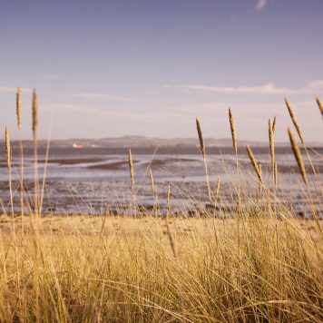
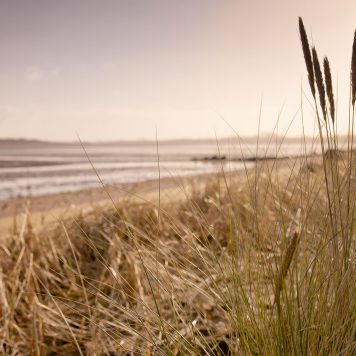
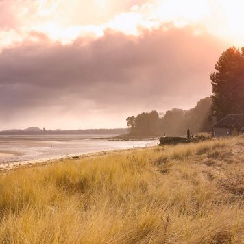
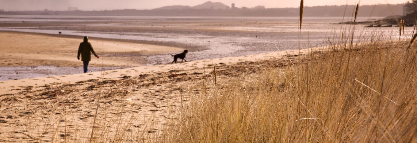
The 4½ mile Shore Walk from South Queensferry to Cramond is open all the year round. The walk is full of interest with beautiful and ever changing views over the Forth to various islands and the coastline of Fife.
- Half and mile further on is Longcraig Pier. This is one of several piers either side of the Forth which were used in connection with the ferry across the Forth. In the days of sailing boats, the pier used would change depending on the state of the tides. Occasionally seals can be seen basking on the pier.
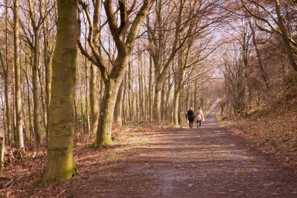
- From Longcraig Pier the walk goes through the white gate beside the cottage and continues through woodland.
- From a clearing on the left, the Hound Point Terminal can be seen. Here oil tankers from all over the world stop to load up with oil from the North Sea which has been refined at Grangemouth Refinery further up the river. The oil is then stored at Dalmeny Tank Farm, near Dalmeny Village, before onward transmission to the oil terminal at Hound Point.
- About 800m beyond the clearing the track turns sharply to the right.
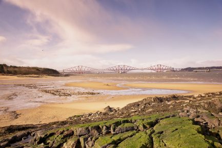
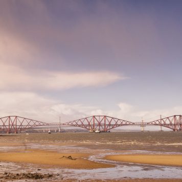
- It is worth taking a detour onto Hound Point headland. According to folklore, the headland is haunted by a dog owned by Sir Richard Mowbray who died on the Crusades. The views from Hound Point are magnificent. Numerous points of interest include Inchcolm Island with its old abbey and the Forth Bridge.
- Opposite the turning to Hound Point and up the hill within the woodland are the remains of World War I gun emplacements. These were part of the Forth naval defences.
- From Hound Point the walk continues through woodland past Fishery Cottage on the left. The cottage gains it name from the salmon netting undertaken until the 1950s when declining stocks of salmon made the operation uneconomic.
- Seven hundred metres beyond Fishery Cottage the track passes through a white gate.
- 230m further on, the path joins the tarmacked Leuchold Drive.
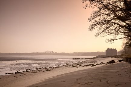
- To the left of the Leuchold Drive Barnbougle Castle may be glimpsed through the trees. The castle is on the site of a medieval tower house built by the Mowbray family which was destroyed and then rebuilt in the 19th century. At Barnbougle the fifth Earl of Rosebery (Prime Minister) practised his speeches in a gallery hall built for the purpose.
- Barnbougle Castle is not open to the public.
- Just beyond Barnbougle the drive emerges from woodland and crosses the Dalmeny Golf Course.
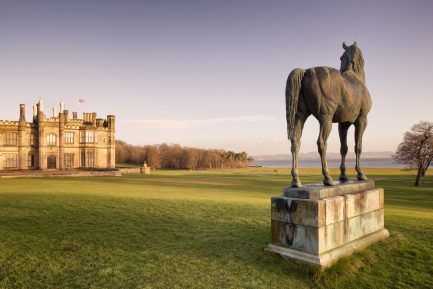
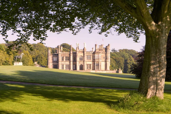
- From the golf course there are beautiful views of Dalmeny House - built in 1817. The house was used as an auxiliary hospital during WWI. During WWII the stables to the rear were used by the Army for a Barrage Balloon Unit. The house was damaged by fire during WWII. Evidence of this can be seen in the use of a new copper roof on the southern wing of the house.
- As the golf course opens up on the left of the Leuchold Drive the footpath skirts the edge of the woodland and then follows the shoreline along the golf course.
- At the end of the golf course the footpath passes over a bridge over the Cockle Burn and into woodland beyond.
- Four hundred and thirty metres beyond the Cockle Burn are the charming Longgreen Cottages which used to be occupied by estate staff.
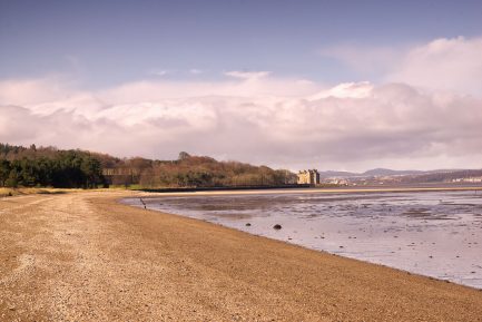
- The footpath continues through woodland beyond Longgreen Cottage until Snab Point is reached. Here there are wonderful views along the coast to Barnbougle Castle and across the Forth.
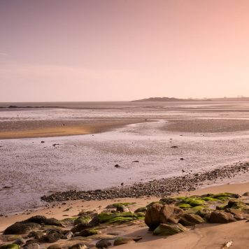
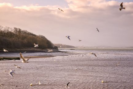
- When the tide is out many seabirds can be seen on the vast expanses of seashore which are part of an extensive Forth SSSI.
- Four hundred and seventy yards further along the path on the shoreline is Eagle Rock. It is thought to have the eagle of a Roman Legion carved into it (an early case of graffiti?).
- From Eagle Rock the footpath continues through woodland until Coble Cottage is reached at the mouth of the River Almond. The cottage is probably named after the type of boat formerly used by the ferryman.
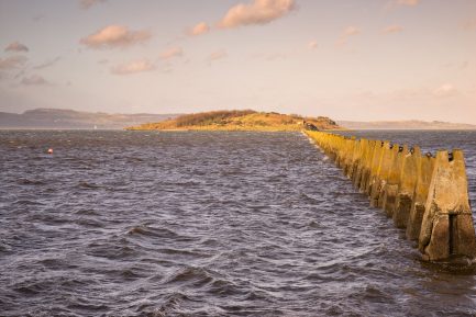
Within Cramond Village there is much of interest. Sights include the ‘dragons teeth’ which stretch between Cramond and Cramond Island. They were built before WWII to prevent enemy submarines and motor torpedo boats from slipping through the gap between the island and the shore at high tide, thereby avoiding booms and other defences across the Forth. These defences denied access upstream to the Rosyth and Port Edgar naval bases.
The old village of Cramond includes Roman remains, Cramond Kirk and an attractive harbour where many yachts moor and swans regularly congregate. It was here that in 1996 the estate ferryman discovered a Roman sculpture embedded in the river bottom depicting a man being mauled by a lioness. The sculpture is on show in an Edinburgh Museum.
An alternative route out of the estate exits at the Cramond Brig Inn. 250 yards before Coble Cottage there is a turning to the right. If this track is followed for 1 ¼ miles without deviating to left or right, the East Craigie Gate is reached just to the north of the Cramond Brig Inn.
